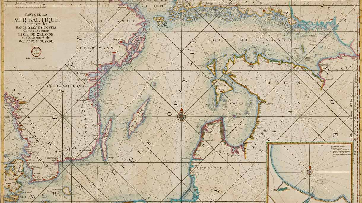
The Sub-areas of the Baltic Sea
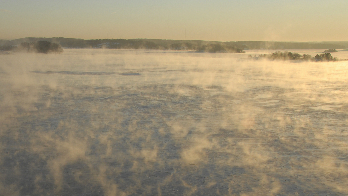
Bothnian Bay
The Bay of Bothnia is bordered by the Northern Quark strait to the south, and its northernmost point lies in the Torne River delta in the Tornio–Haparanda region. There are very few islands along the Bothnian Bay’s coastline, and sandy seabeds are common. Land uplift is still strongly shaping the Bothnian Bay’s coastline. Several large rivers flow into the Bay of Bothnia, including the River Torne, which is the largest salmon river in the Baltic Sea. A significant proportion of Baltic salmon migrate through the Northern Quark strait to spawn every year. Other major rivers that flow into the Bay of Bothnia include the rivers Kemi, Oulu, Kalix and Luulaja.
The salinity of the Baltic Sea’s surface water decreases as you move northwards, and it is almost freshwater in the Bay of Bothnia and at the eastern end of the Gulf of Finland. The number of species that thrive in the Baltic Sea also decreases as you move northwards. The low salinity, cold winters and ice cover in the northern Baltic Sea make it challenging for animals and plants to adapt. The Bay of Bothnia is relatively low in nutrients, and the environmental load is lower than in other areas of the Baltic Sea. The Bay of Bothnia and the Northern Quark strait are the only Baltic Sea waters whose condition can currently be classified as good (Helcom).
Bothnian Sea
The Bothnian Sea begins north of the Åland Islands and continues up to the Northern Quark strait, which is the narrowest part of the Gulf of Bothnia at only 70–80 kilometres wide. The Northern Quark’s emersion coast is Finland’s first natural heritage site on the UNESCO World Heritage List. Land uplift continues to narrow and lower the Northern Quark strait, and this sea connection is expected to disappear in a few thousand years. The Bothnian Sea is almost 300 metres deep at its deepest point, which is located near the coast of Sweden.
An undersea threshold separates the Gulf of Bothnia from the Baltic Sea basin. Even though the nutrient load in the Bothnian Sea is lower than in the Gulf of Finland or the Baltic proper, eutrophication is increasing also in the Gulf of Bothnia, and cyanobacteria blooms occur in summer. Bladder wrack, one of the key species in the Baltic Sea’s marine nature, is abundant throughout the Bothnian Sea.
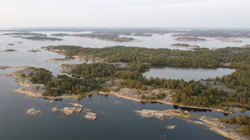
The Archipelago Sea
The Archipelago Sea is a shallow marine area between Åland and southwestern coast of Finland, with an average depth of only 23 metres.
There are more islands in the Archipelago Sea than anywhere else in Europe, and its nature is unique and diverse, ranging from barren rocky islets to verdant coastal groves and well-managed traditional landscapes.
The Archipelago Sea also provides many different underwater habitats with a great deal of biodiversity.
Excessive nutrient runoff for decades has eutrophicated the Archipelago Sea. Riverside agriculture is one of the major sources of nutrient load to the Archipelago Sea. The major rivers of Southwest Finland all flow into the Archipelago Sea.
Gulf of Finland
The Gulf of Finland forms the easternmost part of the Baltic Sea. Numerous rivers bring a great deal of freshwater into the Gulf of Finland. The largest of these – the rivers Neva, Kymijoki, Narva and Luga – all flow into the eastern part of the Gulf of Finland. The seawater in the eastern Gulf has a very low level of salinity and is almost freshwater. The Gulf of Finland is one of the most heavily trafficked marine areas in the world: in addition to other traffic, dozens of oil and chemical tankers pass through the Gulf every day.
The Gulf of Finland has long suffered from eutrophication caused by excessive nutrient load, and countries bordering the Gulf have been cooperating to improve water quality since the 1990s. The decrease in the Gulf of Finland’s nutrient load has been reflected in clearer waters and a reduction in blue-green algae blooms, particularly in the eastern part of the Gulf.
Gulf of Riga
The Gulf of Riga lies between Estonia and Latvia and is separated from the rest of the Baltic Sea by the island of Saaremaa.
The Gulf of Riga is the third largest gulf in the Baltic Sea after the Gulf of Bothnia and Gulf of Finland. Although it is located right next to the Baltic Sea’s main basin, it is sheltered by islands and is therefore somewhat isolated from the rest of the sea. The salinity of its water varies from almost fresh water of large river estuaries to the saltier water near the actual Baltic Sea. These large rivers also cloud the water, and vegetation can be found in the Gulf of Riga to a depth of approximately 11 meters.
The Gulf of Riga is shallow, and fish are abundant. Due to its geographical isolation, the area suffers more from the effects of eutrophication (such as algal blooms) than more open coastal regions.
Gotland Basin
The Gotland Basin is also called as the Baltic Proper, the main basin of the Baltic Sea as it covers most of the surface area of the sea. The deepest point of the Baltic Sea lies in the Gotland Basin: the Landsort Deep at 459 m. Gotland is located off the east coast of Sweden and is the largest island in the Baltic Sea. It is known for its deep waters, limestone beaches and seabird colonies.
The water in the deep basins is heavy and salty, and water exchange is low due to the permanent stratification of the water in the Baltic Sea. The oxygen content in the depths of the Baltic Sea improves from time to time, when large amounts of salty and oxygen-rich water flow through the Danish straits. These events are known as “salt pulses”, but they require very specific weather conditions that only occur about once a decade.
In terms of both coastal and seabed topography, the coasts of especially the southern Baltic Proper are considerably flatter than the archipelago of stony and rocky shores that characterises the north. Along much of the Baltic coast, the open sea starts right at the shoreline.
The Baltic Sea’s main basin receives runoff from rivers over a large area, and the vast blue-green algae blooms that occur every summer can even be seen on satellite images. These blue-green algae blooms can be prevented by reducing nutrient emissions from land. The Baltic Sea’s main basin is directly connected to the Gulf of Finland, so changes in the main basin also affect the state of the open sea in the Gulf.
Bornholm and Arkona Basins
The Bornholm and Arkona Basins cover the southernmost areas of the Baltic Sea, from the Danish straits to the coasts of Lithuania and southern Sweden.
The water near the Danish straits is saltier than in the northern Baltic Sea, and is also home to starfish, crabs and many other saltwater creatures that cannot thrive in the cold, low-saline waters of more northerly areas. The southern waters are also home to the only species of whale that is regularly found in the Baltic Sea: the porpoise.
In favourable conditions, the shallow, sandy seabeds are covered in underwater eelgrass meadows. Unique shallow lagoons are separated from the open sea by narrow sandy isthmuses, the largest of which is the 100-kilometre-long Curonian Spit off Lithuania and Kaliningrad.
Poland is located on the southern coast of the Baltic Sea and is its most populous state – Poland’s almost 40 million inhabitants account for half of the people living in the Baltic Sea catchment area. This is why Poland plays a major role in the Baltic Sea’s wellbeing. Two large Polish rivers flow into the Baltic Sea – the rivers Vistula and Odra – carrying a large volume of both agricultural and urban nutrient load.
Maps, Books and Art
Get to know out books and collections of maritime art, antiquities and maps.